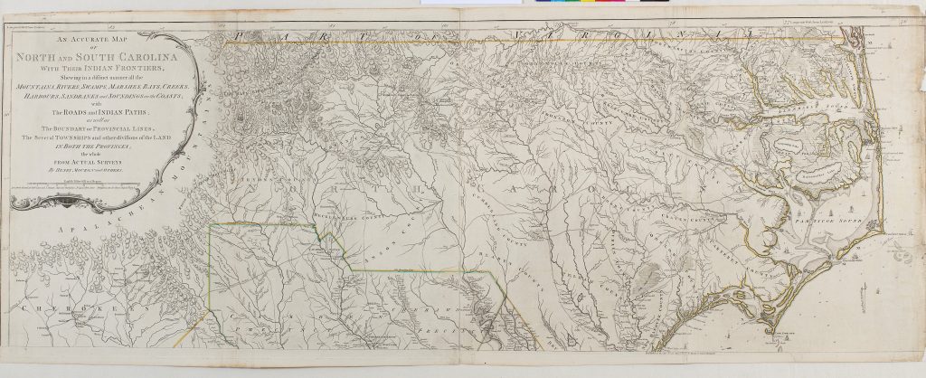
The latest exhibition in the Library is a collection of maps of North America from an 18th century atlas. Most of the maps were created by Thomas Jefferys, Geographer to George III, and Samuel Holland, First Surveyor General of British North America, and were first published in 1775, at the beginning of the American War of Independence.
The American Atlas belongs to the Leighton Library in Dunblane. The Leighton Library is based on the personal library of Archbishop Robert Leighton (1611-1684), who bequeathed some 1500 books and pamphlets to the Cathedral of Dunblane. From 1734 the library became one of the first subscription libraries in Scotland. Leighton’s collection of books was supplemented by 18th and 19th century additions, such as the American Atlas.
The atlas has recently been conserved, meaning that it can now be put on display. Thanks to an arrangement with the Leighton Library Trust, books and other materials from the Leighton Library can be made available for consultation at the University. Please email archives@stir.ac.uk to make an appointment to consult Leighton Library materials.
The Leighton Library relies heavily on contributions from visitors and others who would like to support its work to ensure it is open for generations to come. If you are able to contribute financially then please visit http://www.leightonlibrary.org.uk/ where you can donate online.
The exhibition has been curated by Helen Beardsley (Academic Liaison Librarian) and Dr Gyorgy Toth (Lecturer in History).